Project Details
Categories
Aesthetics of Memory / Estéticas da Memória, Net art & Mobile art
Date Added
abril 25, 2021
Project Brief
Ditamapa is a map of streets, avenues, bridges and viaducts named after presidents of the 1964-1985 dictatorship (Humberto Castelo Branco, Artur da Costa e Silva, Emilio Garrastazu Médici, Ernesto Geisel, João Figueiredo…)
Streets are like wrinkles in a city. This, incidentally, is the Latin origin of the word “street” in Portuguese (rua/ruga). Grooved by the passage of time and events, streets function as places of memory. In the particular case of Ditamapa, their names express the presence of the ghosts of authoritarianism and the ways how that presence was naturalized in our present.
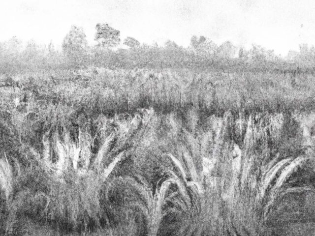
Associated with images captured on Google Street View, the points marked on our map allow us to see the debris of the so-called “Brazilian Miracle” and the ruins of our present. These images make up the Postcards of Regression series, the photos captured in the process of searching and formatting Ditamapa.
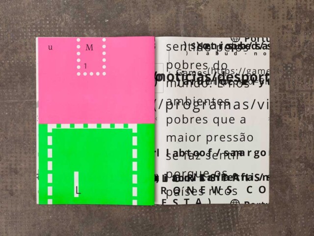
Taken together, street names reveal a geography of the memory of power. The display of these data (Ditaviz) identifies the number of streets honoring presidents-dictators who ruled the country from 1964 to 1985, their distribution by states and the number of place names associated to each of them, among other data.
We await suggestions for new layers of information, since we did not include in this stage of the research other places from the memory of the dictatorship, which range from libraries and schools named after those presidents to architectures, monuments and memorials related to them.
Submit your suggestion.
Share: #ditamapa


